Loop of Crêtes de Vars
Level of difficulty: Intermediate
Elevation gain: 650 m
Distance: 11 km
Duration:
5h00
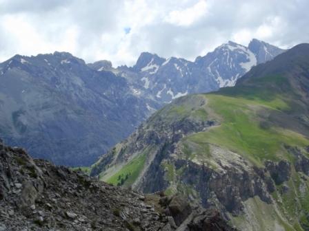
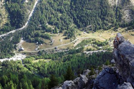
The Vars ridge runs between the Escreins valley, an ancient glacier valley with sharp peaks often exceeding heights of 3,200 metres, and the Vars villages occupying a flatter valley which is more conducive to farming. This hike takes you exploring each of the mountain levels which their own specific features, yet it remains accessible to most people.
This itinerary can be reached from the following accommodation:
on the map
Click on the green boxes below to reserve this refuge :
Caption:
 beds available
refuge full
refuge closed
beds available
refuge full
refuge closed
beds available
refuge full
refuge closed


Creation: Alliance-Réseaux