Grand Glaiza
Level of difficulty: Difficult
Elevation gain: 1750 m
Distance: 24 km
Duration:
10h00
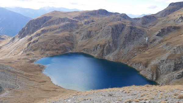
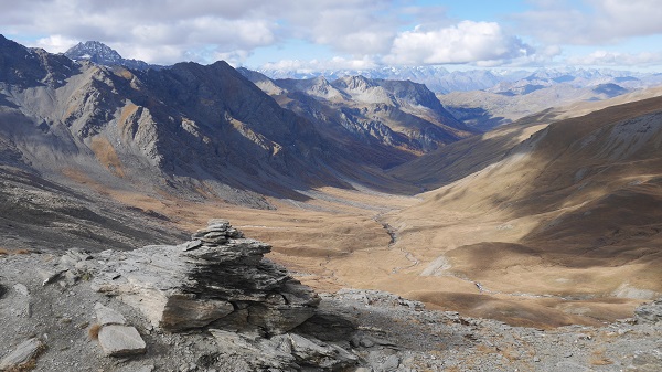
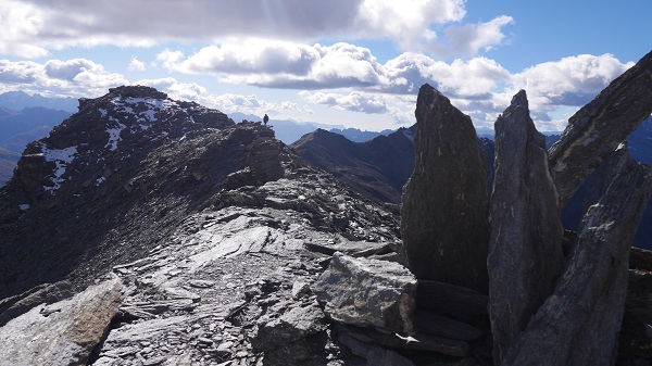
Turn right and head for the pass at 2,830 metres, to the left of Pic du Malrif. You'll first walk at the lakeside, then climb through grassland and scree. Stop at the pass. You can clearly see the top of Grand Glaiza (3,293m) and the ridge. Follow the ridge for an easy climb to your first peak of the day. Go back down to the Malrif pass (2,866m).
This itinerary can be reached from the following accommodation:
on the map
Click on the green boxes below to reserve this refuge :
Caption:
 beds available
refuge full
refuge closed
beds available
refuge full
refuge closed
beds available
refuge full
refuge closed


Creation: Alliance-Réseaux